Home Industries Real Estate Developers & Brokerages

INDUSTRIES

Data Visualization for Real Estate Developers and Brokerages

We turn development data, market numbers and neighbourhood information into interactive maps that buyers, investors and councils can explore on their own.

THE CHALLENGE

Location is the product, so show it

Developers and brokerages work with rich data: permits, sales, rents, transit, schools and new construction. Most of it reaches buyers and investors as a brochure or a table, and the real advantage of a site gets lost in the fine print.

An interactive map shows what is nearby, what is coming and how the market is moving, so the case for a property makes itself.

TODAY

  • Marketing packages built as static PDFs
  • Market data buried in spreadsheets
  • Buyers asking what is nearby, again and again

WITH AN INTERACTIVE VISUALIZATION

  • An interactive map of the site and everything around it
  • Buyers and investors explore on their own
  • Open to everyone, WCAG 2.1 AA

Questions buyers and investors ask

WHAT WE BUILD

What we build for real estate teams

Development pipeline maps

Every project on its parcel with its status, so investors see what is planned, approved and under way.

Project showcase maps

Your project at the centre, with walking times, transit, schools and amenities around it.

Neighbourhood profiles

Shaded maps that compare neighbourhoods on population, income, age and growth.

Market trend charts

Sales, prices and rents animated over time, with exact figures and a text table behind every chart.

Council and community presentations

Clear visuals of density, height and transit access for public meetings and approvals.

Branded listing reports

Agents and buyers download a branded PDF or PowerPoint of the exact map they are looking at.

LIVE EXAMPLES

See it on the map

Live examples built from real municipal and census data, the same layers buyers and investors ask about. Every number comes from the published source.
DEVELOPMENT - PIPELINE

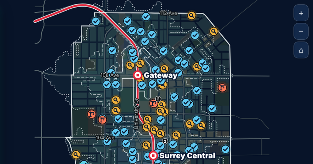
Surrey City Centre

950 development applications on their parcels, with real walking times to three SkyTrain stations.

See the example

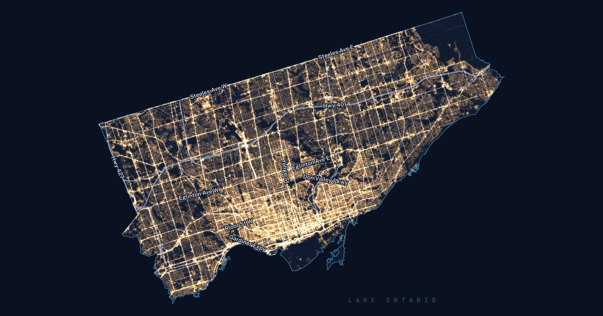
Toronto Grid Pulse: every streetlight pole in Toronto as a glowing dot on the City's mapping, brightest downtown, with major roads labelled.

NEIGHBOURHOOD - AMENITIES

Toronto Grid Pulse

213,618 streetlight poles, 4,439 active development sites, 82 City-run chargers and 688,335 street trees on one real map of Toronto.

See the example

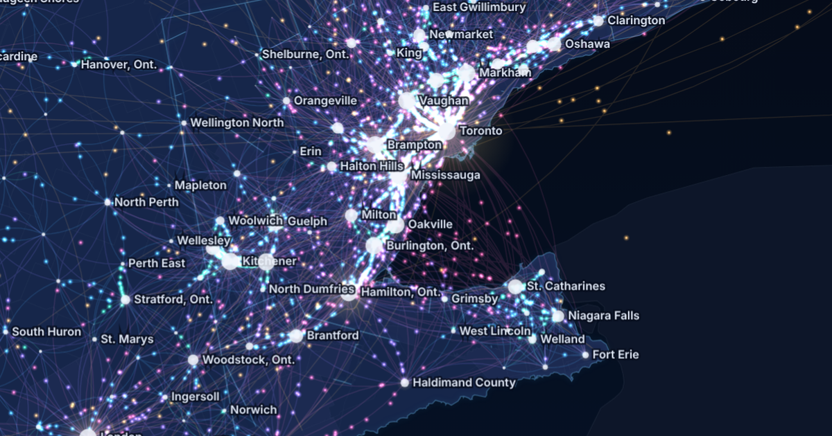
Canada Commutes: the Golden Horseshoe at night, glowing streams of commuters between Toronto, Brampton, Mississauga, Hamilton, Kitchener and Niagara.

MARKET - COMMUTING

Canada Commutes

Every town-to-town commute in the 2021 Census on one animated map: 4,287,965 people crossing a town line to work.

See the example

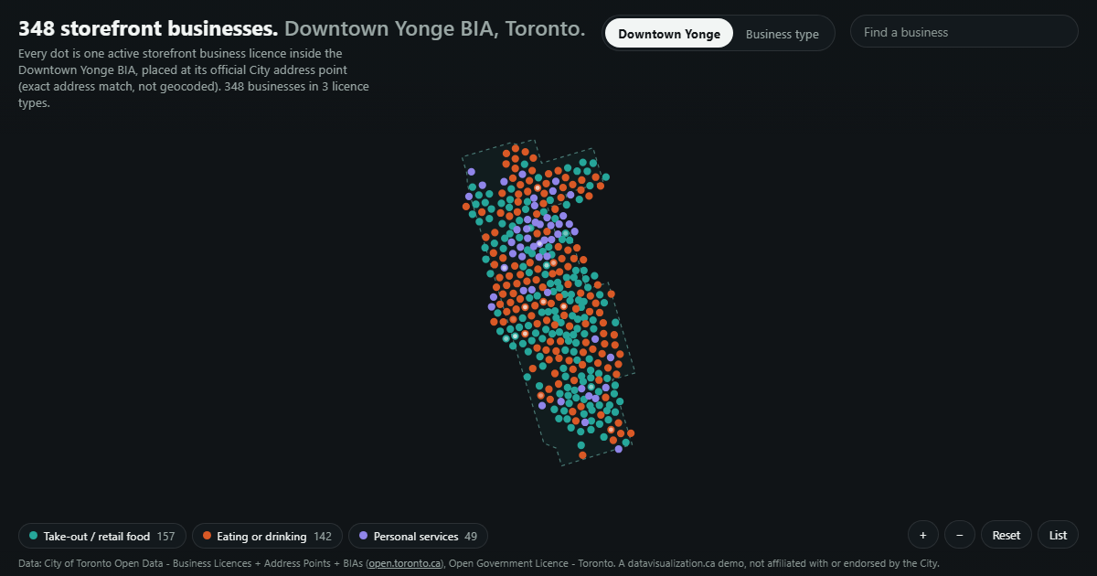
Storefront businesses in the Downtown Yonge BIA as dots inside its boundary.

NEIGHBOURHOOD - RETAIL

Downtown Yonge BIA

348 storefront businesses in the BIA, each at its official City address, by licence type.

See the example

YOUR DATA

Built from data you already use

Much of what buyers want to know is already public, and your own sales and listing data fills in the rest. If it fits in a spreadsheet, it can be visualized.

  • Development applications
  • Building permits
  • Sales and listing history
  • Rents and vacancy
  • Zoning and parcel layers
  • Transit stops and routes
  • Schools and parks
  • Census neighbourhood profiles
  • Business licences
  • Commuting patterns

AODA / WCAG 2.1 AA

Built to AODA standards from day one

Ontario's AODA requires organizations with 50 or more employees to make their public websites meet WCAG 2.0 Level AA. Every visualization we build meets WCAG 2.1 AA, a newer and stricter standard, so it can go on your project site or brokerage site without a retrofit.

Text table behind every chart

Every number can be read without the picture

Full keyboard access

Every control works without a mouse

Screen reader announcements

Changes are read out as people explore

Reduced motion respected

Animation can be paused or turned off

WCAG 2.1 AA on every build

WAYS TO WORK WITH US

Build it, licence it, or both

Every project is quoted after a discovery call. Here is how developers and brokerages usually work with us.

Custom build

We design and build a visualization around your project or market, ready to embed on your site.

Licence

Use one of our ready-made visualizations with your own listings and branding, on a monthly or yearly plan.

Build and licence

A custom build for launch, then a licence that keeps it hosted and refreshed as the market and the project move.

HOW IT WORKS

From first call to launch day

1

Discovery call

Tell us about the project or market and who needs to understand it. We suggest what the experience could look like.

2

Scope and quote

We review the data, confirm what it can honestly show, and send you a quote.

3

Build and review

You see a working draft early, and we refine it with your team.

4

Launch and update

It goes live on your website and can be updated as permits, sales and construction progress.

Questions real estate teams ask us

Yes. We calculate real walking times along streets and paths, as we did for three SkyTrain stations in our Surrey City Centre example.
Yes. The same visualization works on a big screen in a meeting, on your website and as a downloadable report.
From public sources like municipal open data and Statistics Canada, named on the page. We never fill gaps with made-up numbers.
Yes. Each visualization is a single web page that embeds on any website that allows an embed, including WordPress, and it can be shared with one link.
Every project is quoted. The price depends on the size and condition of your data, the number of views, and features like maps, tours or downloadable reports. See what affects pricing, or book a discovery call for a quote.

Show buyers what makes the location work

Tell us about your project or market and the data you have. We will show you what an interactive map could look like and what it takes to build it.